The NECHAMA team is closely tracking Hurricane Erin as it travels along the U.S. Atlantic coast, where it is currently a Category 2 storm with 110 mph winds, far less intense than its peak a few days ago as a Category 5 storm with wind speeds of 160 mph. While not predicted to make landfall, there are several important facts and warnings that you should consider if you live along the East Coast.
- Life-threatening storm surges threaten the North Carolina coast, particularly from Cape Lookout to Duck, per the National Oceanic and Atmospheric Administration (NOAA). Evacuation orders have been issued in NC’s Outer Banks. If you live near potentially affected areas, ensure you are complying with local emergency officials.

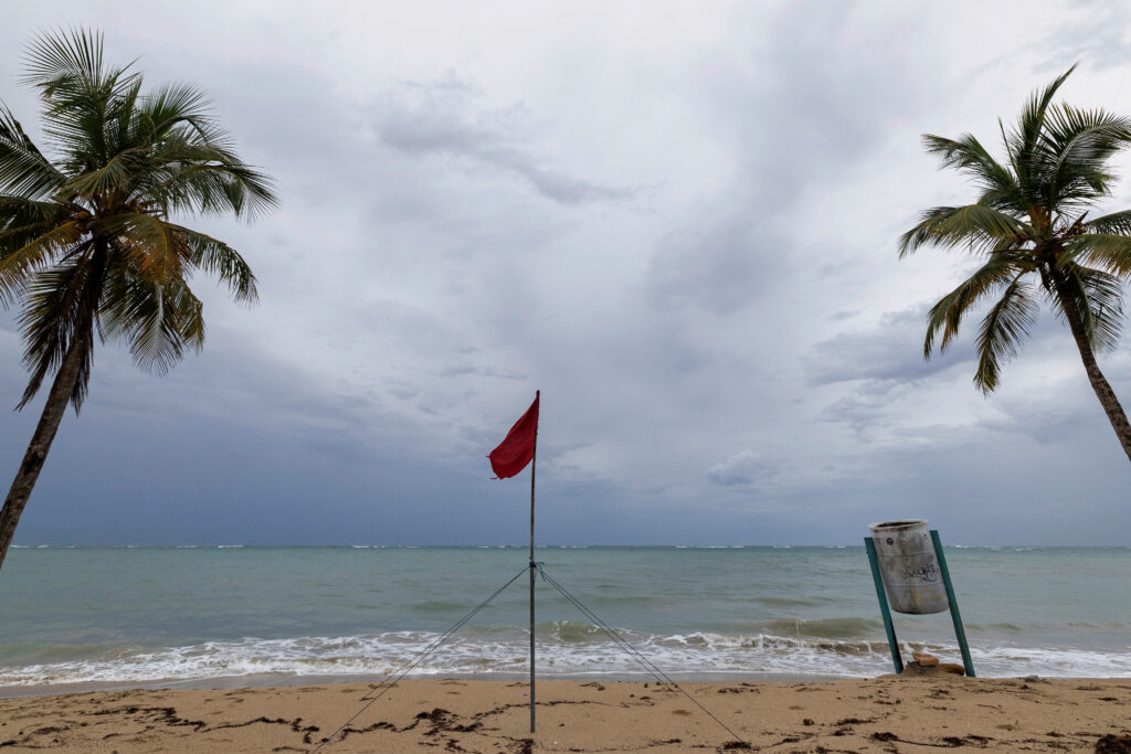
- Due to the immense size of the hurricane, there is potential for damage from wind and water, even as the storm stays offshore. As such, many beaches along the East Coast have been closed due to dangerous rip currents, stretching from Miami, FL through Long Island, NY.

Hurricane Erin is the 5th named storm to form in the Atlantic this hurricane season. It is extremely fortunate that Erin is not projected to make landfall as its sheer size would have wreaked havoc.
NECHAMA will continue to stay vigilant throughout hurricane season, which is predicted to be stronger than usual, per the NOAA.
To help us ensure we can deploy when called, consider making a donation here.
We hope you are staying safe and are out of harm’s way!